


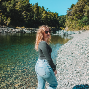


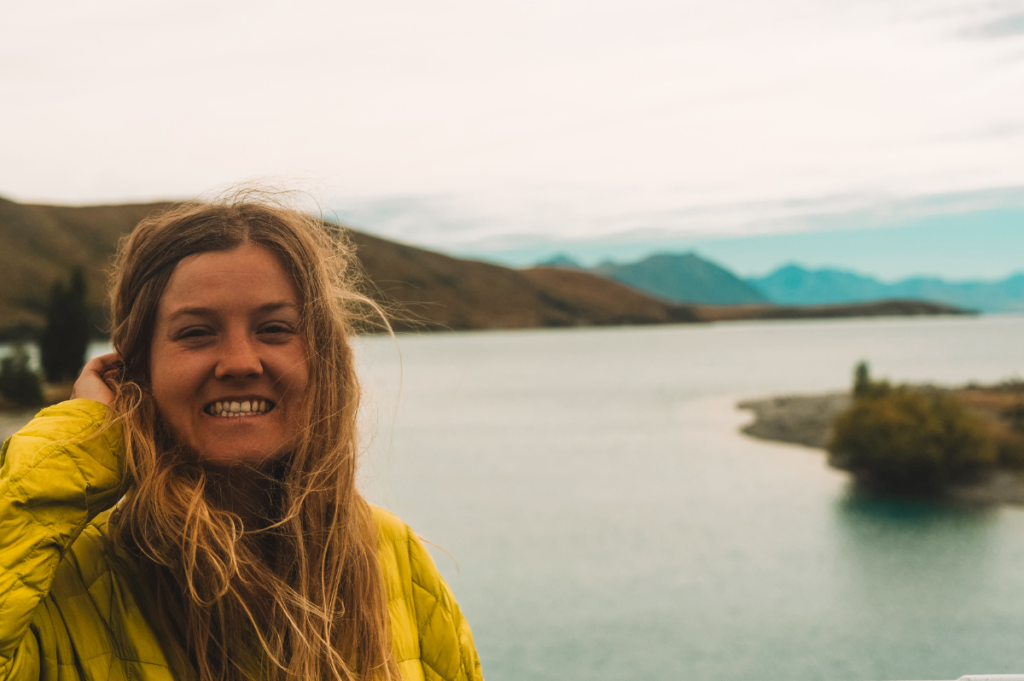
New Zealand is filled with incredible lakes, many of which are glacial, giving them shades of blue you’d think weren’t possible. Though you have many to choose from, these six are the ones I visited during my eight-day road trip around the South Island, and I think they shouldn’t be missed!
Lake Ohau


Lake Ohau a glacial and alpine lake located in the Mackenzie Basin with designated dark sky reserve status. What does this mean for you? Probably the most insane view of the nighttime sky you’ve ever seen in your life.
Not only was it pitch black, but the sky was clear with more stars than my brain could process, and the Milky Way was high in the sky. Emotionally, this was one of the most incredible things I’ve ever done. The lake covers approximately 54–60 km² (33.55-37.38 mi²) and sits at an elevation of 520 m (1,710 ft). This lake is significantly less developed than nearby lakes like Tekapo and Pukaki.
Lake Tekapo


Tekapo is the second-largest of three parallel lakes running north–south along the northern edge of the Mackenzie Basin. It covers an area of 83 km2 (32 sq mi) and is at an altitude of 710 m (2,330 ft) above sea level.
You’ve most likely seen this lake in someone’s Instagram photos from New Zealand, as it’s extremely famous. Understandably so, as its views are picture-perfect. You might have large crowds at certain times of year due to its popularity. Even in March, there were some decent tour buses.
Along the lake is also the Church of the Good Shepard. It’s very small but is an operational place of worship. You’re able to go in, but please be considerate of any services or people praying. Photos are permitted outside, but not in.
Lake Dunstan
Dunstan is a man-made lake and reservoir in the Otago Region. It was created from the Clutha River as a result of the construction of the Clyde Dam. It provides irrigation for nearby orchards and vineyards, and is a major recreational asset for boating, waterskiing, fishing, paragliding, and rowing.
There’s also a 55km (34.18 mi) trail which can be biked along the cliffs and water for some incredible views!
Lake Pukaki

The largest of three parallel alpine lakes running north–south along the northern edge of the Mackenzie Basin. Best known for its intense turquoise waters and sweeping views of Aoraki/Mount Cook. The glacial feed to the lakes gives them their distinctive blue color. It’s created by glacial flour, the extremely fine rock particles from the surrounding glaciers. The lake is fed at its northern end by the Tasman River, which is sourced by the Hooker and Tasman glaciers.
The lake covers an area of 178.7 km2 (69.0 sq mi), and its surface elevation typically ranges from 518.2 to 532 meters (1,700 to 1,745 ft) above sea level.
Lake Wanaka

New Zealand’s fourth-largest lake is home to the town of Wanaka in the Otago region. It’s a stunning alpine lake surrounded by the majestic Southern Alps with crystal-clear waters. The lake is 300 m (984.25 ft) above sea level, covers about 198 km2 (76 sq mi), and is more than 300 m (980 ft) deep. It’s fed by the Matukituki and Makarora Rivers, and sources the Clutha River / Mata-Au.
It’s a perfect spot for kayaking, paddleboarding, and boating or fishing for salmon or trout. This is where you can also find the famous “Wanaka Tree”.
Lake Hawea


This is New Zealand’s ninth-largest lake, covering approximately 151 km² (93.82 mi²) with a maximum depth of 392 m (1,286 ft), stretching 35 km (21.75 mi) from north to south, and sitting at an altitude of 348 m (1,141.73 ft). It’s fed by the Hunter River and flows into the Hawea River.
It’s absolutely gorgeous. I actually saw it at night, but it’s even more stunning during the day. There are a bunch of lookouts, restaurants, and other activities nearby that overlook the lake.